Colloquium Series
Hosting a series of dynamic speakers and researchers throughout the academic year
Spring 2025
Evaluating Disease Risk Under Climate Change Using GIS, Remotely Sensed Data and Mathematic Modeling – A Case Study of the Lyme Disease in Ontario, Canada
Application of Terrestrial Riverscapes in Managing Local Hydrology
-
Fall 2024
Remapping the University of Wisconsin Cartography Lab: Opportunities for Collaborative Production, Research, and Service
Dr. Robert Roth, Professor
Director, University of Wisconsin Cartography Lab
Department of Geography
University of Wisconsin-Madison
Friday, September 20, 2024
Established in 1953, the UW-Madison Cartography Lab (Cart Lab) is a full-service cartographic production facility housed within the University of Wisconsin-Madison Department of Geography. The mission of the Cart Lab is to provide undergraduate and graduate students a unique apprenticeship experience on map design projects, supplementing their classroom learning experience with on-the-job training working with real-world clients. Since I became director in 2015, we have added basic research and community-engaged service activities to our portfolio in response to the shifting priorities of the university and evolving demands of the cartographic industry, as well as our own internal values as a unit within a public institution. In this presentation, I discuss the basic operations of the Cart Lab as background context and discuss some of the opportunities for "Cart Labs" and cartographers broadly to enable collaborative, transdisciplinary geographic scholarship and education. In doing so, I show how many of my own research projects--from map-based visual storytelling and user experience design to social and environmental justice mapping and sustainable "green" cartography--started as initial conversations with department colleagues and community members in the Cart Lab. -
Spring 2024
Prohibition Geographies: the War on Drugs and Socioecological Change in Central America
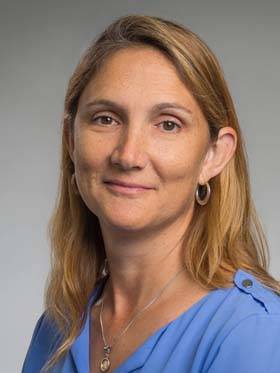
Dr. Kendra McSweeney
Professor and Distinguished Scholar, Department of Geography
American Academy of Arts and Sciences Fellow
The Ohio State University
Friday, February 9, 2024
In the U.S., prohibition is often considered a thing of the past. This talk explores the geographies that arise from the global prohibition of drugs—in this case, cocaine. Drawing on a decade of team science spanning the many spaces of law-making and law-enforcement around cocaine, I lay out how drug prohibition exacerbates climate change and has profound social and ecological consequences in the Central American spaces through which cocaine is smuggled.Connecting Space to Village: Forest Disturbances and Ecosystem Services in the Southwestern Amazon
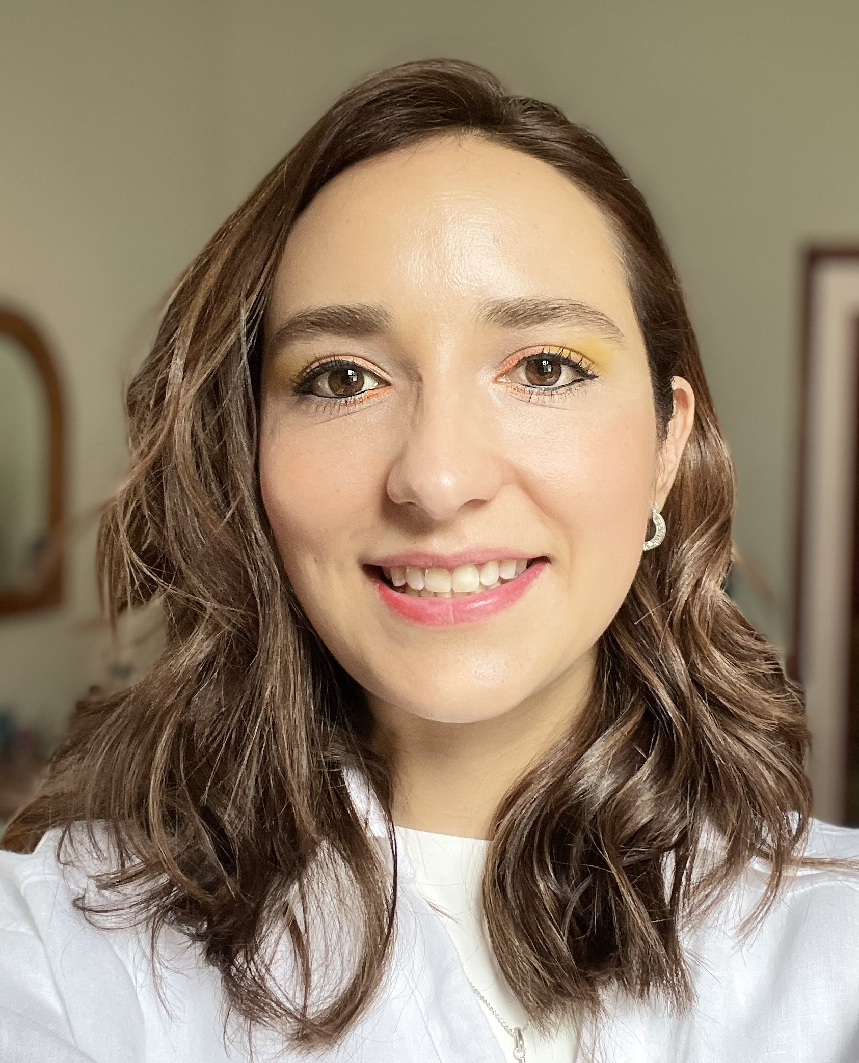
Dr. Yunuen Reygadas
Assistant Professor of Remote Sensing of the Environment, Department of Geosciences, Texas Tech University
Friday, January 26, 2024
Dr. Yunuen Reygadas' presentation will focus on the effects of forest cover changes on ecosystem service indicators in one of the most preserved and ecologically important yet least studied regions of the Amazon basin, the Southwestern Amazon. She will address how the integration of geospatial modeling with indigenous ecological knowledge is essential to understand and cope with environmental change. -
Fall 2023
Utilizing Big Data for Climate Change and Health Studies: A Focus on Extreme Heat

Dr. Yoonjung Ahn
Assistant Professor, The University of Kansas
Thursday, November 9, 2023
The world is grappling with escalating summer temperatures and more frequent severe heatwaves. This summer, 2023, has witnessed an unprecedented global heatwave, making it the most intense on record.These extreme heat events have substantial health impacts, exemplified by the United States' higher death toll in 2022 compared to both ten and thirty-year averages. However, limited data availability hampers the development of targeted prevention measures for extreme heat.This presentation will showcase how utilizing spatial analysis and diverse spatial data can help overcome these limitations, supporting the formulation of effective heat prevention policies.How Much Food Contributes to Climate Change
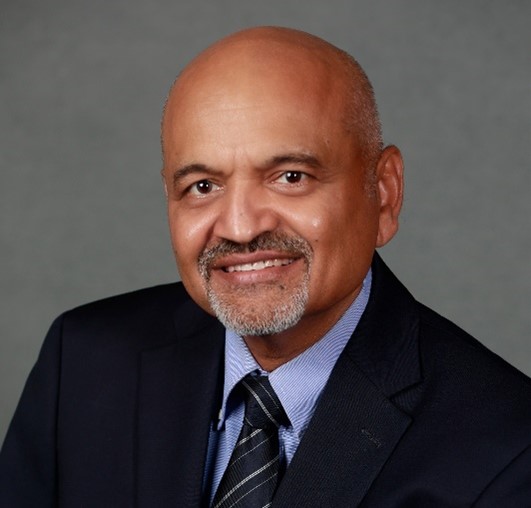
Dr. Atul K. Jain
Professor, University of Illinois, Urbana-Champaign
Friday, October 6, 2023
Our study shows that global food production accounts for over one-third of all planet-heating gases linked to human activities. This presentation will provide a detailed breakdown of how much each agricultural practice, animal product, crop, and country contributes to gas emissions to help focus and fine-tune reduction efforts and improve the food system’s resilience to climate change. -
Spring 2023
Death by Design: The science behind why our streets are so dangerous, and what we can do about it
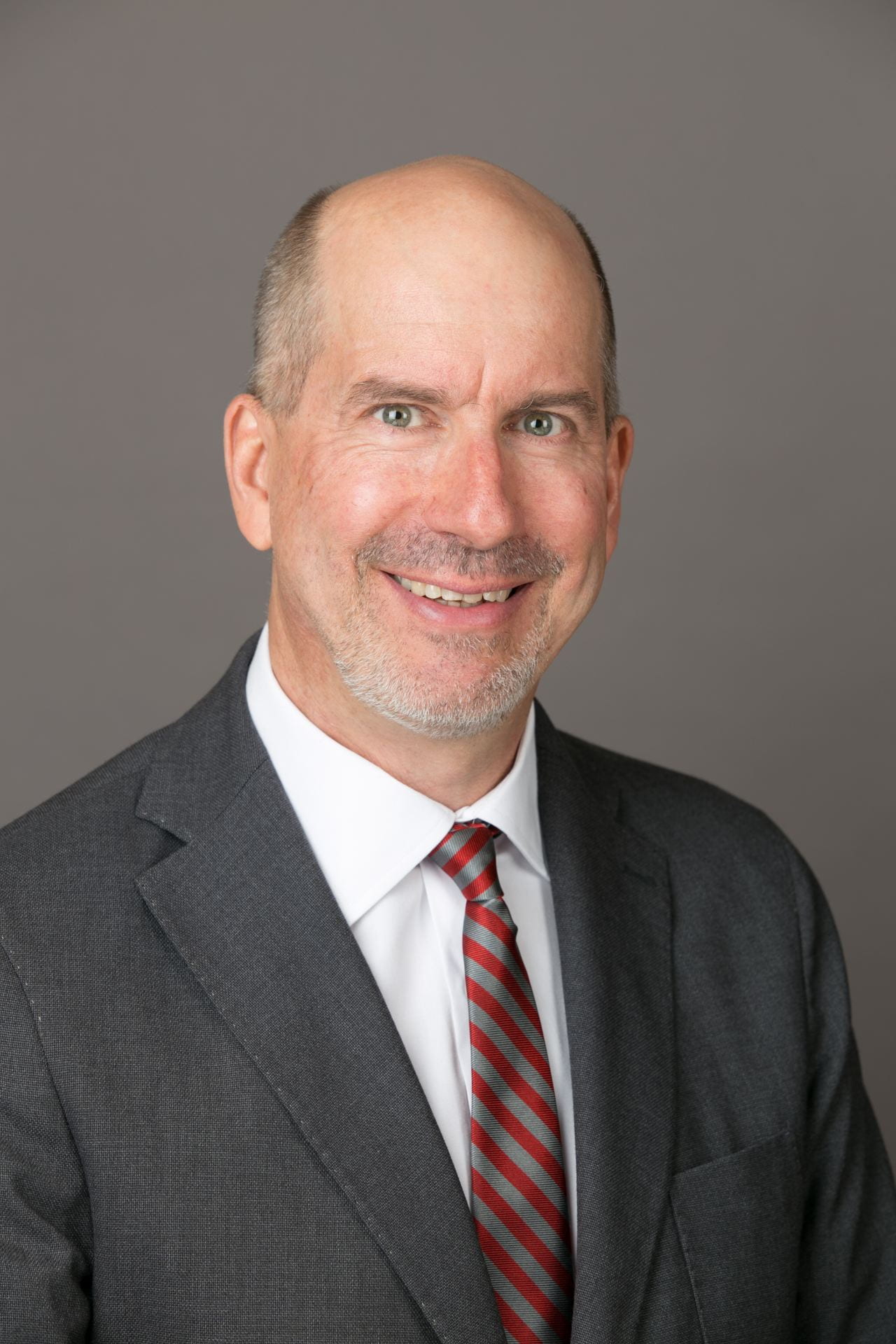
Speaker: Dr. Harvey Miller
Bob and Mary Reusche Chair in Geographic Information Science
Professor of Geography & Director of the Center for Urban and Regional Analysis The Ohio State University
Date: March 3, 2023
After decades of progress, traffic fatality rates are climbing in the United States, driven by alarming increases in pedestrian deaths. This mayhem is not a bug but a feature of designing our streets for speed over safety. I will describe the social justice dimensions of road trauma, why this occurs, and highlight our research at the Center for Urban and Regional Analysis at The Ohio State University on the influence of street design and the built environment on serious crashes. I’ll also discuss the tangible actions we can take to make our streets safer for all.Paul Bunyan and the Settler Colonial Whitewashing of Environmental Extraction
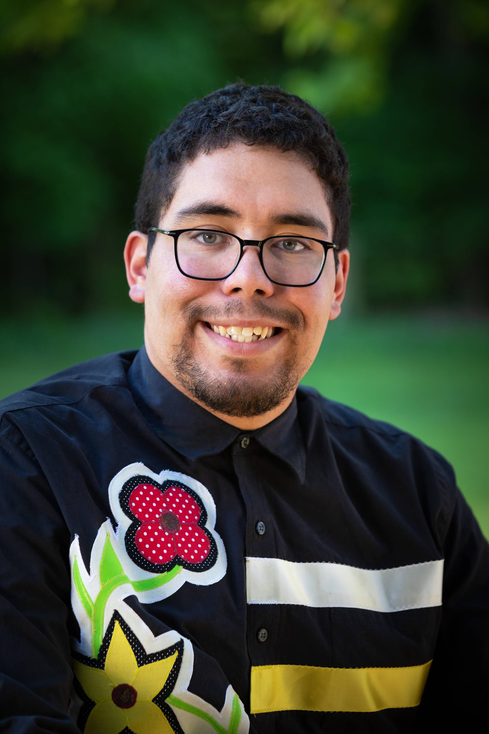
Speaker: Dr. Deondre Smiles
Assistant Professor of Geography
University of Victoria, (BC, Canada)
Date: February 24, 2023
The American legend of Paul Bunyan and his blue ox, Babe, has underpinned popular folk narratives about the development of the United States, particularly in the Upper Midwest, for over a century.However, the legacy of Paul Bunyan has a darker side--it serves to obscure the real-life dispossession and destruction of environments and spaces in which Indigenous peoples have inhabited and have had relationshipswith dating to before colonization. Building off of the work done by Nik Nerburn in his ‘zine’ In The Shadow Of Paul Bunyan(2014), this talk traces the history of the legend of Paul Bunyan and places it alongside settler colonial development and environmental degradation, bringing these histories into conversation with awareness (or lack thereof) surrounding historical and contemporaneous Indigenous relationships.
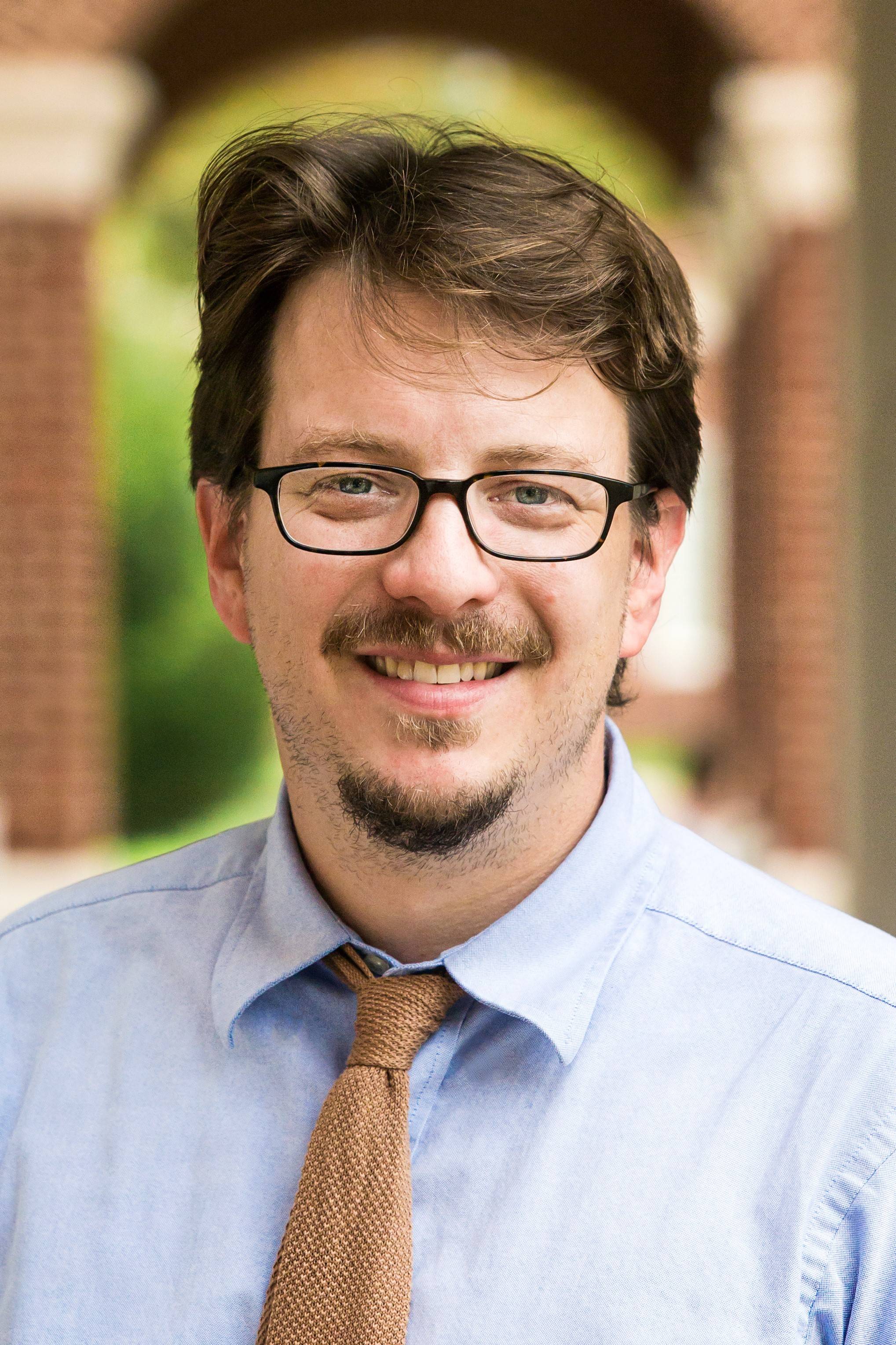
Social Murder and the Geographies of Injustice:
Socio-Environmental Impacts of Racial Segregation in Southeastern Virginia
Speaker: Dr. Johnny Finn
Assistant Professor of Geography
Department of Sociology, Social Work, and Anthropology
Christopher Newport University
Date: February 10, 2023
The lines of racial segregation in most metropolitan areas in the United States are as stark today as at any point since Reconstruction. The promise of the 1968 Fair Housing Act remains unfulfilled, as the legacy of persistent segregation continues to reproduce deep racial, economic, environmental, and health inequalities. In this lecture Dr. Johnny Finn will use the Hampton Roads region of Virginia as a case study to interrogate the connections between the racist housing policies of our nation’s recent past and the landscapes of environmental injustice that we inhabit today. In the context of climate change, Finn will argue that to avoid continuing to cement into our future the racially unjust landscapes of the present, we must enact policies with the explicit goal of achieving racial and social justice through urban climate resiliency. Finn will also discuss his efforts to engage broader public audiences in these discussions around racial and environmental justice, especially through his work with the Virginia Museum of Contemporary Art. -
Fall 2022

Spatial Turns And Culture Wars Within And Beyond Geography: One Human Geographer’s Close Encounters With GIS
Speaker: Dr. Steve Radil
Department of Economics and Geosciences
United States Air Force Academy
Date: November 17, 2022
The introduction of GIS into academic geography in the late 1980s and early 1990s was a uniquely disruptive event, leading to intense critiques of the technology and polarizing debates about the status of human geography that some have called 'the GIS wars.' This disruption also affected other social science and humanities disciplines and is often credited as leading to various 'spatial turns,' or the rise of questions of space in other literatures. I'll discuss these wars and turns through the lens of my own experiences to highlight the perils and possibilities of human geography in a GIS-saturated era.
Museum Landscapes of Transcalar Memory Work:
Nation-building National Museum Wales
Speaker: Dr. Mark Alan Rhodes II,
Assistant Professor of Geography,
Michigan Technological University
Date: September 30, 2022
Museums form a core institutional foundation to the formation of national identity. They reflect, obfuscate, perform, and shape national narrative and discourse, particularly when operated from the national scale. In Wales, the national museum system is public, non-hierarchical, and spread across seven museums throughout the country leading to multiple inherently geographical questions. In this paper, however, I narrow these questions to one: how does a national museum negotiate scale when rooted into disparate local communities and regions? While geographers have historically included museums within our broader purview, particularly when considering historical and cultural contexts, there have been few studies which approach the museum itself as a landscape, and fewer still which begin to ask how a transcalar, multi-thematic, and dispersed public museum system as a whole could be approached via a landscape analysis. This lecture addresses the place for geography at the intersection of nation, landscape, and museum within the context of National Museum Wales.
-
Spring 2022
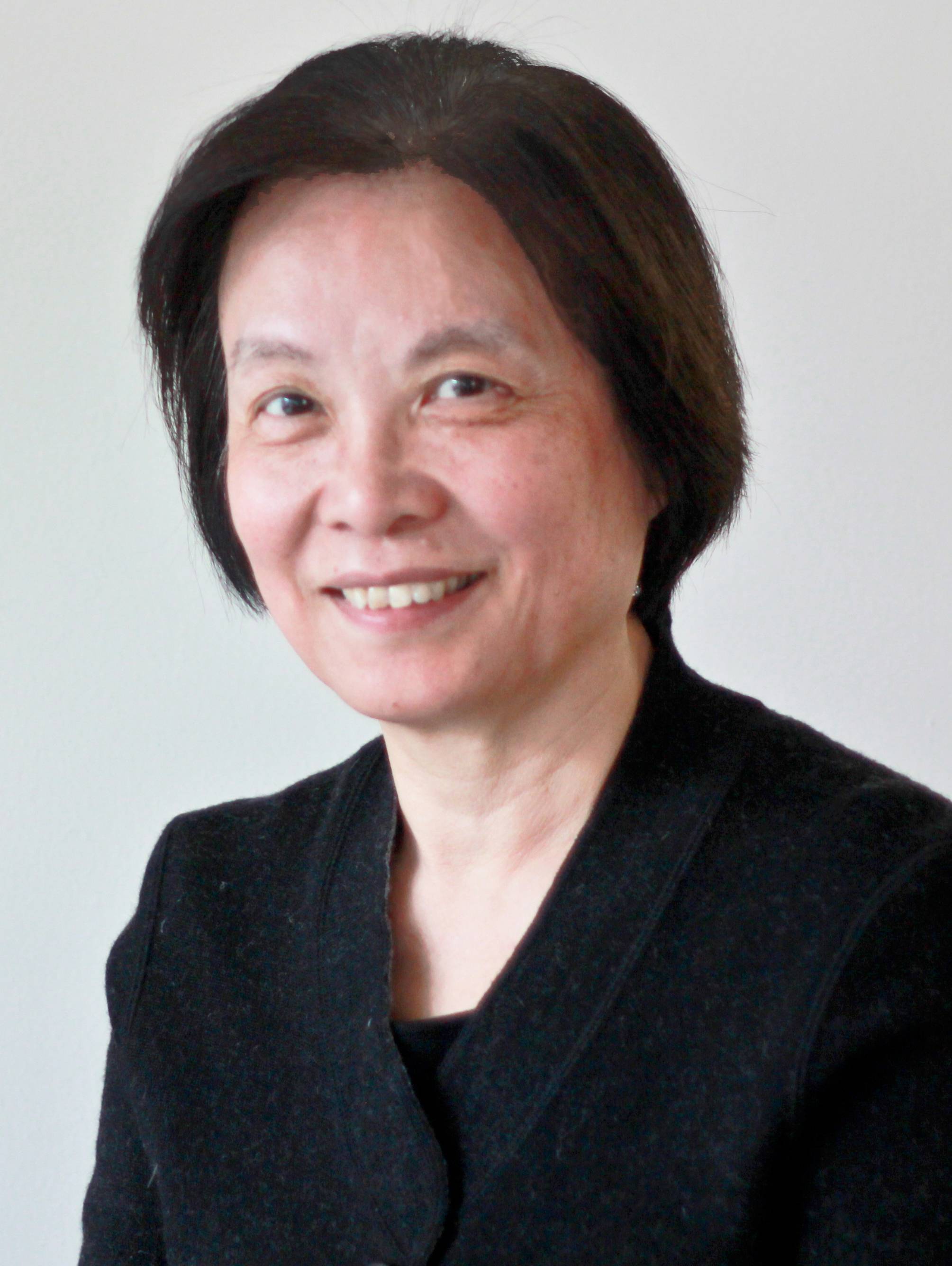
Space-centric vs. Human-centric Networks for Communicable Disease Studies
Speaker: Professor Ling Bian, University at Buffalo
Date: April 8, 2022Bio:
Dr. Ling Bian is a Professor in the Department of Geography at the University at Buffalo. Her current research interests include the conceptual and analytical frameworks for the representation of spatially and temporally dynamic phenomena, individual-based and spatially explicit epidemiological modeling, and network analytics.
Articles based on her research have been published in journals including the Proceedings of the National Academy of Sciences, Annals of the American Association of Geographer, among others. These research works have been supported by a number of successful NIH, NSF, CDC, and other competitive programs.
Dr. Bian is presently the Editor for the Geographic Methods section of the Annals of the American Association of Geographers. She also served on review panels for the National Science Foundation and the National Institutes of Health.
Abstract:
The dispersion of communicable diseases is often perceived as a network process. The interaction between individuals at a place forms local networks and facilitates local infection. Their travel between places connects the local networks into a population-wide network and spreads the infection to an entire area.
The dual-form geometry of networks (node and edge) leaves room for researchers to decide what nodes and links should be for a given phenomenon. This presentation compares two types of networks in the context of communicable disease dispersion: human-centric networks and space-centric networks from the perspective of Lagrangian view and Eulerian view. The representation frame, their implications, and application challenges of the two types are discussed.
-
Fall 2021
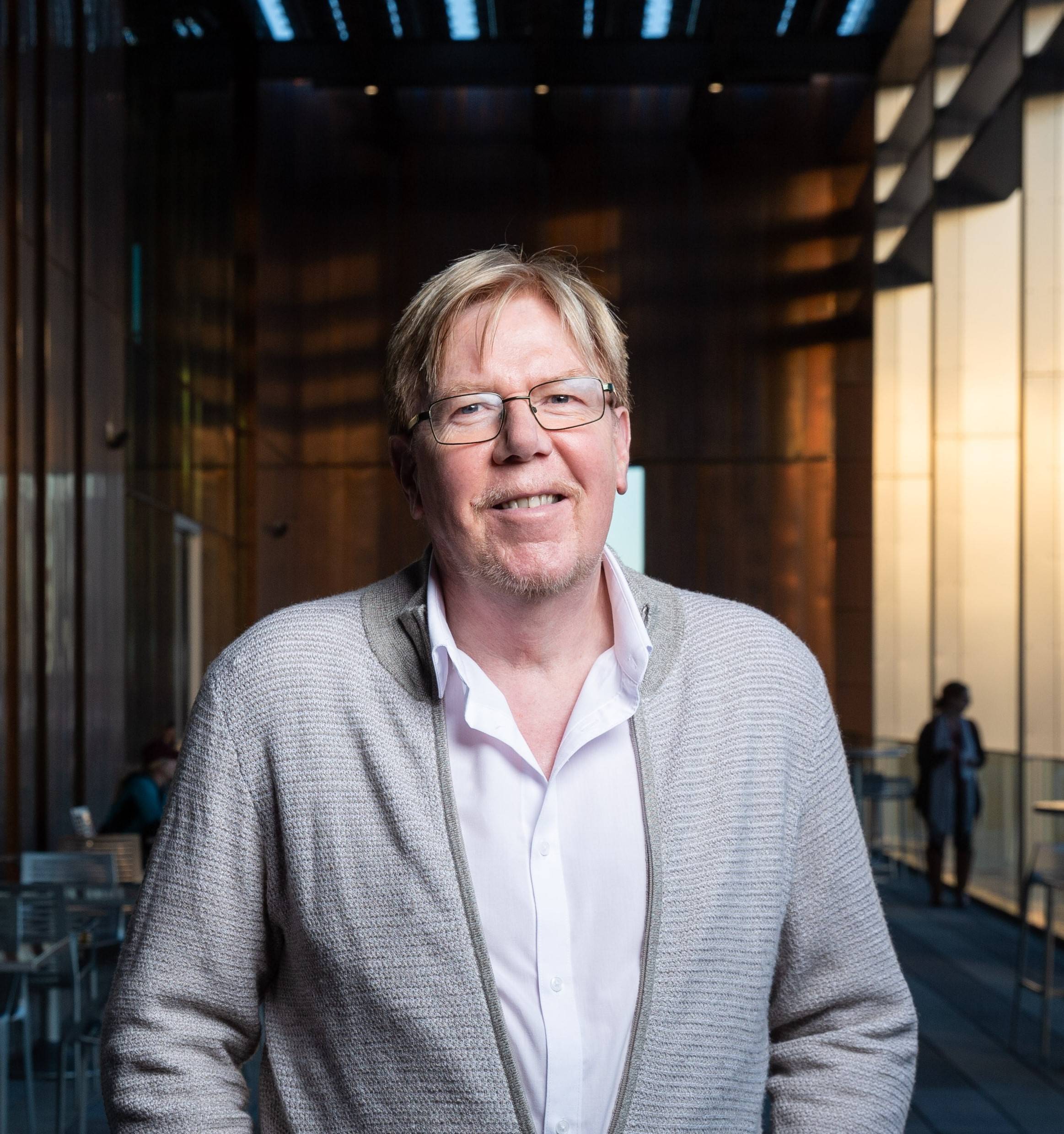
A Local Modeling Perspective on Four US Presidential Elections
Speaker: Stewart Fotheringham, Arizona State University
Date: November 19, 2021 -
Spring 2021
A Mountain of Sand; The geomorphic and flood-hazard implications of the Old River Control Structure on the Lower Mississippi River
Speaker: Dr. Reuben Heine, Hamming Endowed Chair of Geography, Augustana College
-
Fall 2020

GIS and Public Health - An Introduction to the JHU CSSE Real-time Coronavirus Tracker
Speaker: Mr. Ensheng (Frank) Dong, Louis M. Brown Engineering Fellow, Ph.D. Candidate
Date: November 12, 2020
The Border Security Industry as Extractive Industry
Speaker: Dr. Scott Warren, Post-doctoral Researcher, University of Arizona
Date: Friday, November 6, 2020
Video recording: https://mediaflo.txstate.edu/Watch/geocolloquium-scottwarren
Coastal Hazard Assessment in the Marshall Islands: Application of High-Accuracy Elevation ModelsSpeaker: Dr. Dean Gesch, Research Scientist, U.S. Geological Survey
Date: October 16, 2020 -
Spring 2020
Migration As Adaptation to Global Environmental Change at the Margins
Speaker: Dr. David Wrathall, Assistant Professor, Oregon State University
Date: February 28, 2020
Extension of Spatial Statistics to Spatiotemporal Analytics
Speaker: Dr. Jay Lee, Professor, Kent State University
Date: March 6, 2020 -
Fall 2019
Differing Perceptions of Value and Competing Expressions of Place on Alaska's North Slope
Speaker: Dr. Tyra Olstad, Assistant Professor, SUNY Oneonta
Date: November 8, 2019
Uncharted Territory: Stories of Doing Geographic Research in a Medical School
Speaker: Dr. Rick Sadler, Assistant Professor, Michigan State University
Date: September 6, 2019 -
Spring 2019
Changes to the Global Value of Ecosystem Services: A Market Failure?
Speaker: Dr. Paul Sutton, Associate Professor, University of Denver
Date: March 8, 2019 (Texas GSRS Keynote Presentation)
Law, Territories, and the Geography of Urban Drilling
Speaker: Dr. Matt Fry, Associate Professor, University of North Texas
Date: February 21, 2019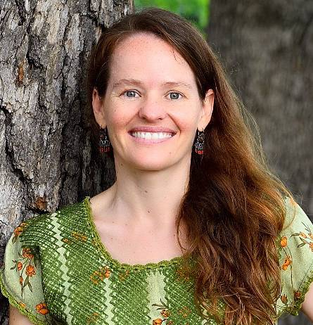
Smoke and Dust-in-Rain: Source of Nutrients and Pollutants to Terrestrial Ecosystems
Speaker: Dr. Alexandra Ponette-Gonzalez, Associate Professor, University of North Texas
Date: February 22, 2019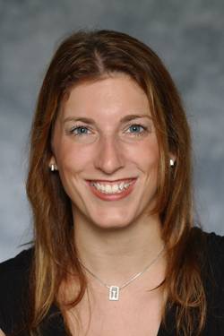
Some Physical and Social Aspects of Hurricane Research
Speaker: Dr. Jennifer Collins, Associate Professor, University of South Florida
Date: January 25, 2019 -
Fall 2018
Interpersonal Relationships in Geographic Space
Speaker: Dr. Clio Andris, Associate Professor, Georgia Tech University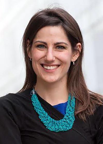
Date: November 9, 2018
Watch the presentation on YouTubeFood Deserts, Disparities and Democracy: Action Research for Spatial Justice in Appalachia
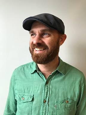
Speaker: Dr. Bradley Wilson, Associate Professor, West Virginia University
Date: September 7, 2018Harnessing Collective Intelligence for Conservation and Environmental Problem-Solving
Speaker: Dr. Steven Gray, Assistant Professor, Michigan State University
Date: October 12, 2018Gaining Confidence in Hydrological Models through Improved Understanding of Catchment Functioning
Speaker: Dr. Christian Birkel, Associate Professor, University of Costa Rica
Date: October 26, 2018
Watch the YouTube video -
Spring 2018
Film Screening + Discussion with award-winning director Pamela Yates and executive producer Paco do Onís
March 27, 2018 at 6:00 p.m.
Alkek Library Teaching TheaterDocumentary Filmmaking Workshop
March 28, 2018 at 12:30 p.m.
Evans Liberal Arts 116Radical Presence: Black Faces, White Spaces & the Possibility of Us
Carolyn Finney Ph.D.
College of Arts and Science,Geography, University of Kentucky
Thursday, February 8, 2018 @ 6:00 pm, followed by a reception with the speaker
J.C. Kellam Building, 11th Floor, Reed Parr Room
Parking available at Edward Gary Garage
Parking ticket will be validated at the event
Finney-Carolyn-Colloquium-Poster.pdf
Watch the video now. Credit: Victoria Vasquez
“Overall, it was the most gratifying event in my Texas State experience.” Nathaniel PerkinsCarolyn Finney, Ph.D. is a writer, performer and cultural geographer at the University of Kentucky. As the author of Black Faces, White Spaces: Reimagining the Relationship of African Americans and the Great Outdoors, she is deeply interested in issues related to identity, difference, creativity, and resilience. Along with public speaking, writing and consulting, she serves on the U.S. National Parks Advisory Board and is part of The Next 100 Coalition - a first-of-its-kind coalition of civil rights, environmental justice, conservation and community leaders from around the country who put together a vision statement and policy document on diversity and public lands for the Obama Administration. She is currently working on a number of projects including a new book that explores identity, race, lived experience and the construction of a black environmental imaginary and a performance piece about John Muir (The N Word: Nature Revisited).
Knowledge Cartographies: Evaluating the Mobilization of Competing
 Knowledge Discourses in US Hydraulic Fracturing Rulemaking
Jennifer Baka, Ph.D.
Department of Geography, Penn State University
January 26, 2018
Baka--Jennifer-Colloquium-Flyer.pdfJennifer Baka conducts interdisciplinary research on energy policy using research methods from political ecology, industrial ecology, and resource geography. Dr. Baka has also worked in the energy industry for numerous years, first as an economic consultant in Washington, DC and second as a consultant for the United Nations Environment Programme in Paris, France. For nearly a decade, Dr. Baka has been researching international biofuel policies, primarily in India. More recently, she has been examining unconventional energy policy in the US.
-
Fall 2017
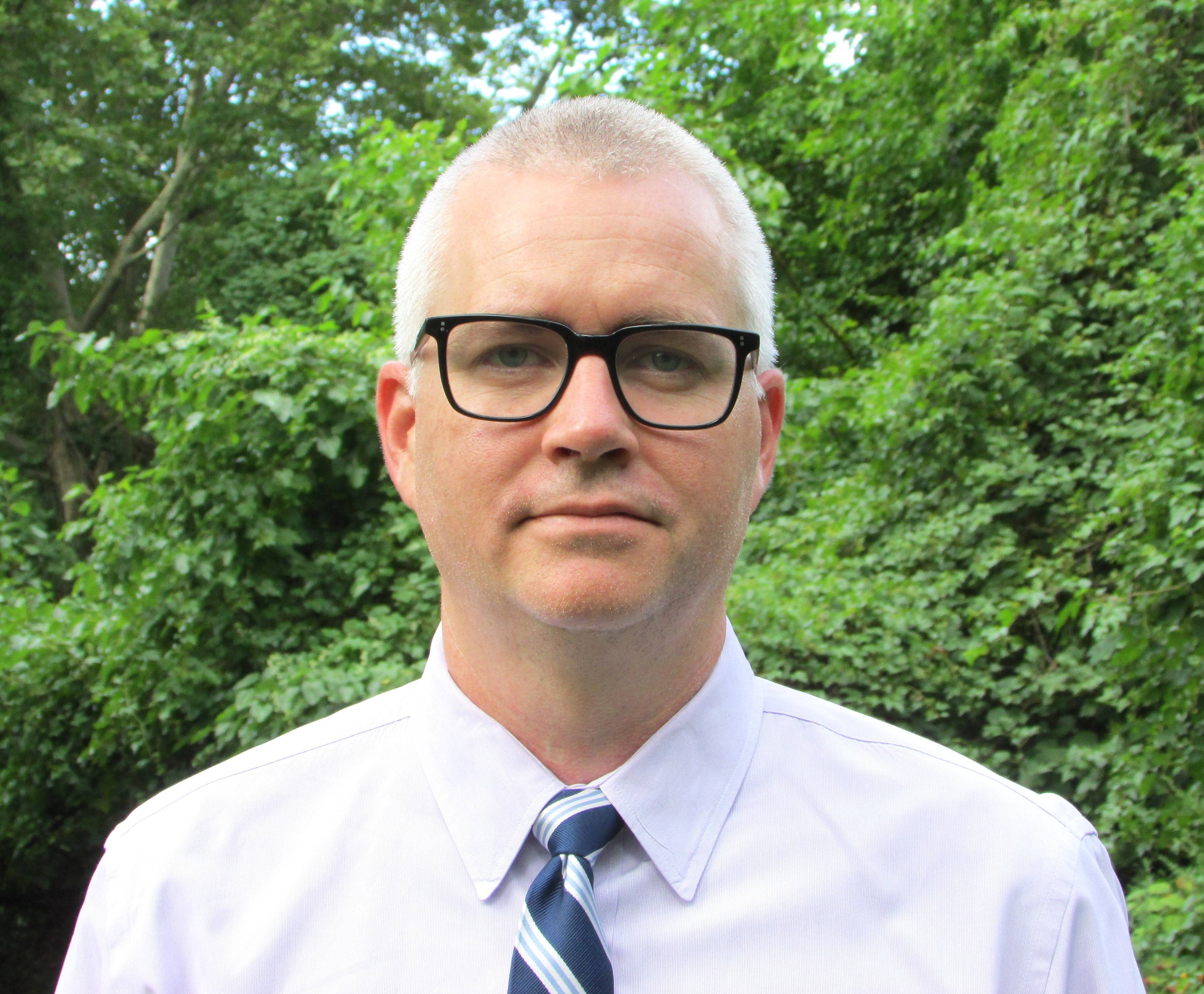
Green infrastructure and the hidden politics of urban stormwater governance in a postindustrial environmental city
Michael Finewood, Ph.D.
Environmental Studies and Science, Pace University
September 29, 2017
@mikefinewood | mfinewood@pace.edu
Michael Finewood is a human geographer and political ecologist with research and teaching interests in environmental governance, water, and urban sustainability, with explicit attention to critical geographies and justice. He earned a Ph.D. in Human Geography from the University of South Carolina, where he trained as a social scientist who works on challenges in socio-ecological governance. Over his career Dr. Finewood’s interests have focused on environmental perception, expertise, and decision-making, with a concentration on water and society. He has conducted research on the social and ecological impacts of coastal development, resource extraction, urban farming, and urban stormwater governance. His current project explores the challenges of water governance across the politically and ecologically fragmented Bronx River watershed.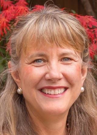
Revisiting Global Immigrant Gateways: Hyper-diverse, Established and Emerging Turnstiles of Human Settlement
Marie Price, Ph.D.
Geography and International Affairs, George Washington University
October 20, 2017
Price--Marie-Colloquium-Flyer.pdfMarie Price is a Professor of Geography and International Affairs at George Washington University where she has taught since 1990. A Latin American and migration specialist, her studies have explored human migration’s impact on development and social change. She is President of the American Geographical Society and a non-resident fellow of the Migration Policy Institute. Her current research is on the spatial dynamics of immigrant inclusion and exclusion in cities as well as innovations in geographic education. She is also interested in participatory mapping and open source platforms as a way to engage students in research, service, and analysis. She is co-author of the leading textbooks in world geography: Diversity Amid Globalization: World Regions, Environment and Development, 7th edition (2017, Pearson) and Globalization and Diversity: Geography of a Changing World, 5th edition (2016, Pearson). Her publications also include a co-authored report Migrants’ Inclusion in Cities: Innovative Urban Policies and Practices (2012, United Nations), co-edited book Migrants to the Metropolis: The Rise of Immigrant Gateway Cities (2008, Syracuse University Press) and over 50 refereed articles and book chapters. She maintains a website, Globalization, Urbanization and Migration (GUM) that provides data on immigrants (foreign-born) for over 200 metropolitan areas of 1 million or more people throughout the world. http://gum.columbian.gwu.edu/
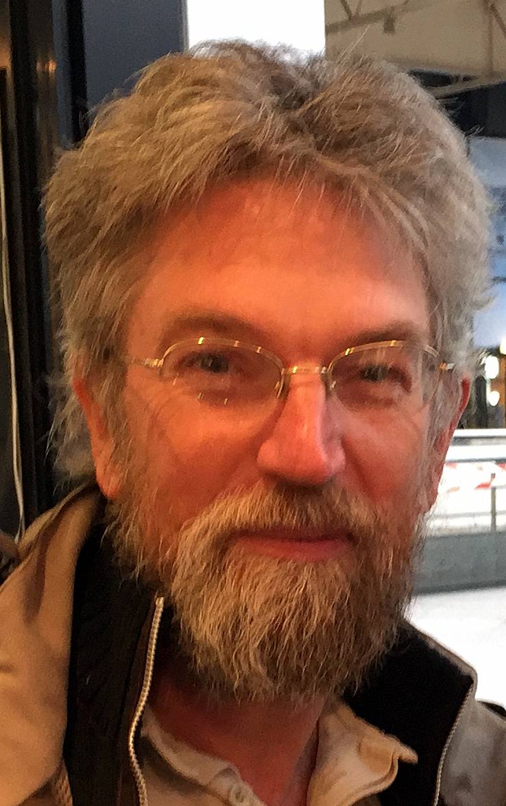
Farmed Space in the Community : A Cross-Channel Comparison of Two Rural Areas in Concern with Urbanization, Mid Devon and Coglais
Yvon Le Caro, Ph. D.
Rural Geography and Planning, Université Rennes 2 — Rennes Cedex - France
November 1, 2017
Le-Caro--Yvon-Colloquium-Flyer.pdf
Yvon Le Caro is a rural and social geographer, teaching as assistant professor in Rennes 2 University and in the CNRS lab "Spaces and societies" (ESO), focusing his research on local relationships between farmers and non farmers. He is elected member of the scientific commission of Rennes 2 University and leads the MS degree “Social dynamics and spatial planning” (Master Dysater).Dr. Le Caro has also been an agricultural economics advisor, a rural development volunteer, and has performed academic research in rural geography and planning.
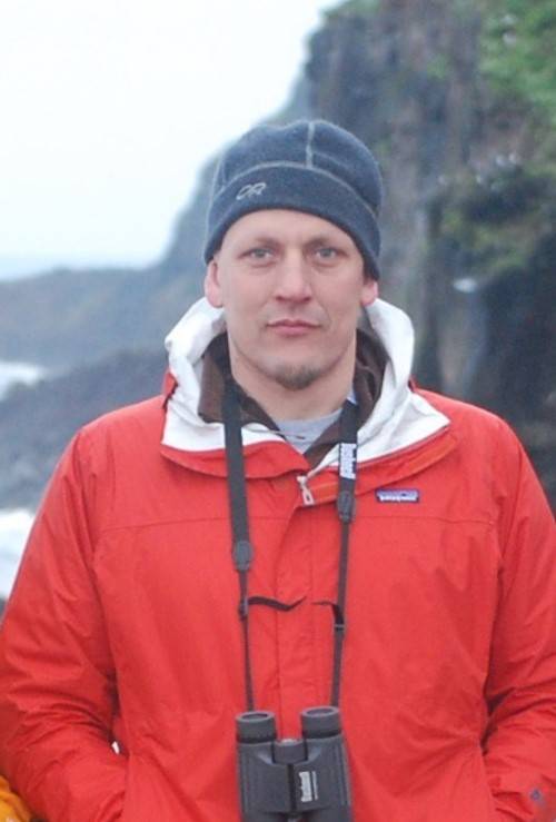
Just Transitions in the Coastal Zone
C. Patrick Heidkamp, Ph.D.
Department of the Environment, Geography & Marine Sciences, Southern Connecticut State University
November 10, 2017
Heidkamp--Patrick-Colloquium-Flyer---REVISED.pdf
C. Patrick Heidkamp is an Associate Professor in, and chair of, the Department of the Environment, Geography & Marine Sciences at Southern Connecticut State University and a visiting Lecturer in the School of Natural Sciences and Psychology at Liverpool John Moores University. He is also the co-director of the Connecticut State University System Center of Environmental Literacy and Sustainability Education and an affiliate of the Economic Rights Research Group at the University of Connecticut. He holds a Ph.D. and M.A. from the University of Connecticut and a B.A. from Sonoma State University. He is an environmental economic geographer with a current research focus on sustainability transitions in the Coastal Zone. Dr. Heidkamp’s research and teaching interests are environmental economic geography, urban geography, the geography of food and agriculture, sustainability studies and the history and philosophy of geographic thought. He has interests in agro-food systems, urban food systems, urban waterfront revitalization, coastal zone transitions and the geography of economic rights. -
Spring 2017
Hydrologic extremes in Central Texas--extreme floods and
droughts
Raymond Slade
Austin Community College, Northridge Campus, Austin, Texas
March 3, 2017
SladeRaymondColloquiumPoster.pdf
Raymond M. Slade, Jr. served as a Hydrologist for 33 years with the U.S. Geological Survey (USGS) in Texas until he retired 14 years ago. Since his retirement he has been an Adjunct Professor at Austin Community College and a self-employed Consulting Hydrologist. He has served on committees and boards for several dozen water-resource related organizations, and has presented many talks and reports for local, statewide, and national conferences and conventions. He is Certified and Registered as a Professional Hydrologist with the American Institute of Hydrology and has authored about 130 reports concerning Texas water resources, with topics including the Edwards aquifer, Roods, droughts, rural and urban hydrology, and water quality of surface and ground water."It's my day...and I want it big!": neoliberal globalization and the rise
 and rise of an East African wedding industry
Caroline Faria Ph.D.
Department of Geography & the Environment, University of Texas at Austin
March 24, 2017
FariaCarolineColloquiumPoster.pdfCaroline Faria is a feminist political geographer working on gender, nationalism and globalization in East Africa. Through a feminist and postcolonial lens, she examines how the nation is bounded, reproduced and contested in the performances of gendered bodies and the interplay between nationalism and globalization in this process. Her current work focuses on the politics of beauty, following the production, distribution and consumption of beauty products from Dubai to Kampala and onto the emerging markets in the newly independent republic of South Sudan. Via a feminist commodity chain analysis, she explores the gendered, racialized and nationalized notions of fashion and beauty in the region, and the contradictory ways in which the foreign, the modern and the cosmopolitan are both celebrated and worried over in this industry.
Creating a Research Program of Geographic Intra-Disciplinarity… and
 Why
Why
Kelly Crews Ph.D.
Department of Geography & the Environment, University of Texas at Austin
April 21, 2017
CrewsKelleyColloquiumFlier.pdfKelley Crews research and teaching focus on 1) land change science in strongly seasonal systems, 2) integration of satellite- and field-derived measurements; and 3) health, vulnerability, and resilience of socio-ecological systems in developing states. She proudly practices "muddy boots" remote sensing and has over 18 years field experience in the global tropics, with much of her recent work focusing on Botswana. and water quality of surface and ground water.
-
Fall 2016
Making Noise with Big Data: Generative Chamber Music in Attribute
 Space
Space
André Skupin Ph.D.
Center for Information Convergence and Strategy, San Diego State University
October 14, 2016
Skupin--Andre-Colloquium-Poster.pdf
This seminar reimagines the concept of an aerial fly-over in the context of multivariate geographic data and in combination with dynamically assembled generative sound. Instead of serving as sonification in the traditional sense, the symphonic sound accompanies an animated stream of aerial photographs that follows a high-dimensional transect across the United States, displayed concurrently with dashboard panels highlighting patterns in geographic, attribute, and textural spaces. Visually, one becomes immersed in a space of colors and textures inhabited by the aerial photographs, while the similarity relationships driving the sequence of photographs and concurrent sound are derived from a completely different space, namely a 69-dimensional space reflecting climate, soils, geology, land use/cover, and population attributes. This experiment leverages a data set of 200,000+ area features covering the continental U.S., to which the above-mentioned attributes were attached in a previous study.Climate, Grapes and Wine: Understanding Terroir Influences in a
 Variable and Changing Climate
Gregory Jones Ph.D.
Department of Geography & the Environmental Studies, Southern Oregon
November 18, 2016
JonesGregoryColloquiumPoster.pdfClimate is a pervasive factor in the success of all agricultural systems, influencing whether a crop is suitable to a given region, largely controlling crop production and quality, and ultimately driving economic sustainability. Climate’s influence on agribusiness is never more evident than with viticulture and wine production where climate is arguably the most critical aspect in ripening fruit to optimum characteristics to produce a given wine style. This talk will provide an overview of regional to global research on 1) aspects of terroir that influences optimum quality and production characteristics, 2) the suitability of different winegrape cultivars to different climates, 3) how climate variability influences production and quality variations, and 4) how climate change has and will likely continue to alter the global wine region map.
-
Spring 2016
Parks, Playas, and Powwows: Designing a Field Guide to the Contemporary American West
William Wyckoff Ph.D.
February 19, 2016
WyckoffBillColloquiumFlier.pdf
Dr. Wyckoff has studied the historical and cultural geography of the American West and the evolution of the region’s landscapes. He is the author of five books, including his most recent volume titled How to Read the American West: A Field Guide (2014). For this talk, Dr. Wyckoff will share his experience of putting together the Field Guide and highlight the importance of public lands in the West, with special attention to the 100-year anniversary of the National Park Service.
The potentials and political pitfalls of transformative rural tourism in protected areas: The Case of British Columbia’s Southern Interior Grasslands
Donna Senese Ph.D.
Department of Geography, University of British Columbia Okanagan|
March 24, 2017
SeneseDonnaGSRSColloquiumFlyer.pdfDonna Senese is an Associate Professor of Geography at the University of British Columbia Okanagan, Dr. Senese’s research and teaching interests are in the geographies and landscapes of tourism, rurality, parks and protected areas, food and wine. She is Executive Director of the Sonnino Working Group, an international trans-disciplinary research collective and is North American Director of Academics at the Sonnino Centre for International Studies at Castello Sonnino in Montespertoli, Tuscany where she continues her research in rural landscape change and instructs experiential courses in rural sustainability, tourism, food and wine.
The Data Science Revolution: Opportunities and Challenges
Tonny Oyana Ph.D.
Department of Prevention Medicine, University of Tennessee Health Science Center
April 15, 2016
OyanaTonnyColloquiumFlier.pdf
Tonny J. Oyana is the Director of Spatial Analytics and Informatics, Research Center for Health Disparities, Equity, and the Exposome (RCHDEE) & Professor, Department of Preventive Medicine, The University of Tennessee Health Science Center, Memphis. -
Fall 2015
Reading Mexican Border Town Pasts with Photographic Postcards
Department of Geography, Arizona State University
October 2, 2015
Arreola--Daniel-Colloquium-Flyer.pdf
Daniel Arreola is a professor of Geography at Arizona State University, where he teaches several courses including Mexican-American Borderland, Hispanic-Latino Americans, Urban Geography, and Arizona and the Southwest. His work focuses on the cultural geography of the Mexican-American borderlands.When Ethnicity Becomes Race: American Lessons
Deborah Martin Ph.D.
Department of Geography, Clark University in Worchester
October 23, 2015
MartinDeborahColloquiumFlier.pdf
Deborah Martin is a professor of Geography at Clark University in Worchester, Massachusetts, Dr. Deborah Martin is an urban geographer with interests in place identity, local politics, legal geography, qualitative methodologies, and social movements (particularly neighborhood activism). She conducts research on a range of topics (including urban forestry and housing community land trusts, both current projects) coalescing around themes of place identity and place-making,
geography and law, local politics, and human-environment relations.When Ethnicity Becomes Race: American Lessons
John Frazier Ph.D.
Department of Geography, Arizona State University
November 20, 2015
Frazier--John-Colloquium-Flyer.pdf
John Frazier’s recent research and teaching foci involve the study of immigrant Diasporas in the United States, with immigrant Indian Americans a significant focus in the last few years, especially as they settle in gateway cities, and more specifically, in Eastern Queens, N. Y. and Santa Clara County, CA, the two largest Indian settlement in the U. S. His research examines the movements, destinations, and changes that immigrants create on landscapes, as well as their experiences in transitioning into the U.S. setting. Modification of cultural landscapes can affect ethnic tensions, and immigrant sense of belonging. His research and teaching also focus on the relationship between ethnicity and race in the American experience, both in historical and contemporary contexts. Images that are racially motivated can be hurtful and harmful, including how they shape and maintain racial geography in a race-place context. -
Spring 2015
Practicing Development at Home: Gender, Race, and the “Development” of
 the American South
Mona Domosh Ph.D.
Department of Geography, Dartmouth College
February 20, 2015
DomoshMonaColloquiumFlier.pdf
Mona Domosh is a professor of geography at Dartmouth College, and is currently the President of the Association of American Geographers. Her research explores the intersections of gender, race, and class in the making of American empire in the first half of the twentieth century.Mona Domosh is a professor of geography at Dartmouth College, and is currently the President of the Association of American Geographers. Her research explores the intersections of gender, race, and class in the making of American empire in the first half of the twentieth century.Alternative Reference Frames in River Science, Water Policy, and
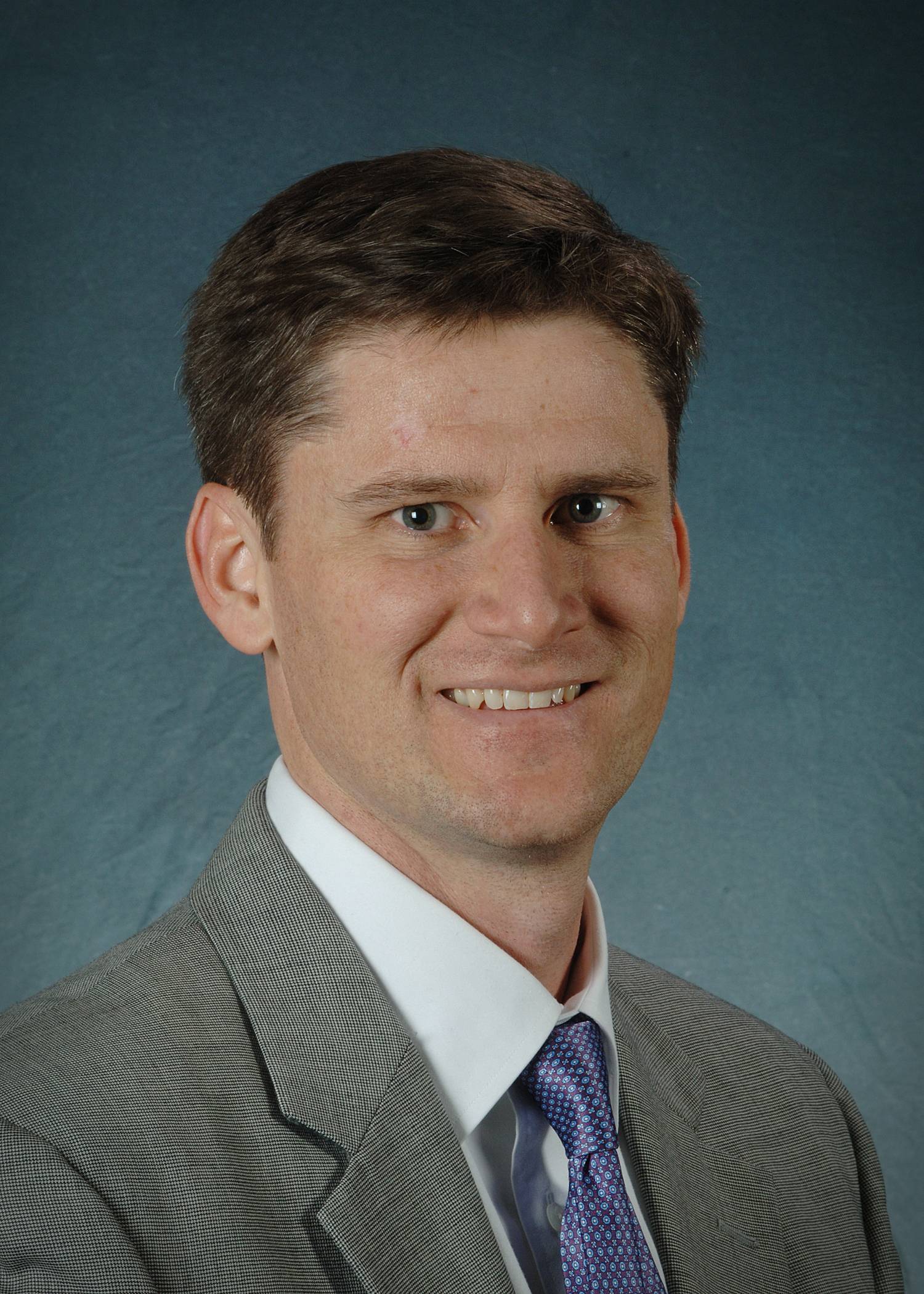 Environmental Law
Martin Doyle Ph.D.
Nicholas School of the Environment, Duke University
March 6, 2015
DoyleMartinColloquiumFlier.pdf
Martin Doyle is Professor and Director of the Water Policy Program at Duke University’s Nicholas School of the Environment. His research is at the interface of science, economics, finance, and policy of water management and environmental restoration. -
Fall 2014
The resilience of riverine landscapes? A view point from down under
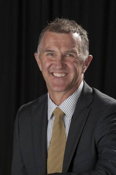
Martin Thoms Ph.D.
Department of Geography and Environmental Science, University of New England
September 8, 2014
ThomsMartinColloquiumFall-2014.pdf
Martin Thoms is the Director of the Riverine Landscapes Research Laboratory and Chair of the Department of Geography and Environmental Science at the University of New England, Armidale, NSW, Australia. He is an internationally recognized scientist in the field of river ecosystems specializing in connections between freshwater ecology, hydrology and geomorphology.Cartographic Translations of Situated Knowledge: Design Solutions for a
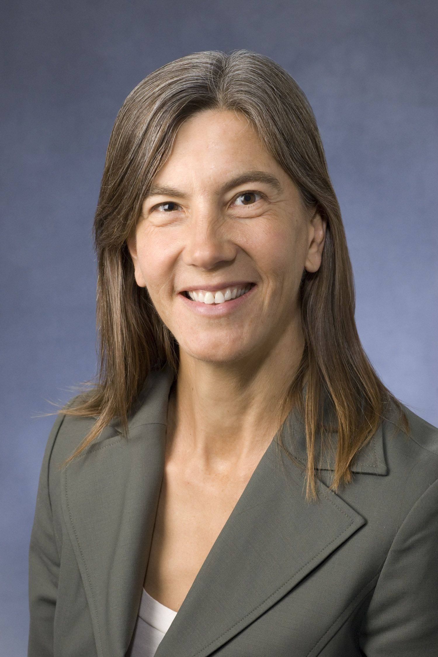 Traditional Place Names Map
Margaret Pearce Ph.D.
Department of Geography, University of Kansas
October 3, 2014
PearceMargaretColloquiumFlier.pdf
Margaret Wickens Pearce is a cartographer, Citizen Potawatomi, and an Associate Professor of Geography at University of Kansas. Her work is to explore and expand cartographic language through narrative and Indigenous studies.Human and Natural Changes in the Maya Lowlands Wetlands
Sheryl Luzzadder-Beach Ph.D.
Department of Geography and the Environment, University of Texas at Austin
November 7, 2014
LuzzadderBeachSherylColloquiumFlyer.pdfSheryl Luzzadder-Beach was appointed Professor and Chair of the Department of Geography and the Environment at the University of Texas at Austin in 2014. Her research and teaching expertise includes Hydrology, Geoarchaeology, Science and Human Rights, Physical Geography, Spatial Statistics, and Global Change.
